The Great New England
Hurricane of 1938
|
|
- Posted September 20, 2018 -
|
| |
________________
Shortly after the September 21, 1938 hurricane, Leslie H. Tyler compiled a booklet of 177 photos and illustrations, The New England Hurricane (© October 1938 - Leslie H. Tyler). The four black and white photos below were taken in Hamden by professional news photogtrapher, I.A. Sneiderman, who lived on Still Hill Road, almost opposite the end of Johnson Road.
|
 |
| CLICK ON PHOTO TO ENLARGE |
|
|
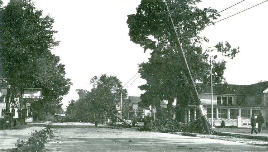
1938 caption: "Whitney Avenue, Centerville"
This view was looking north on Whitney, just north of School Street. The Socony gas station on the right was later operated by Hubert Sloane, who lived across the street in one of those wood framed houses that were torn down in the mid-1960s for the Jefferson Arms Apartments, shown in the recent photo below.
|
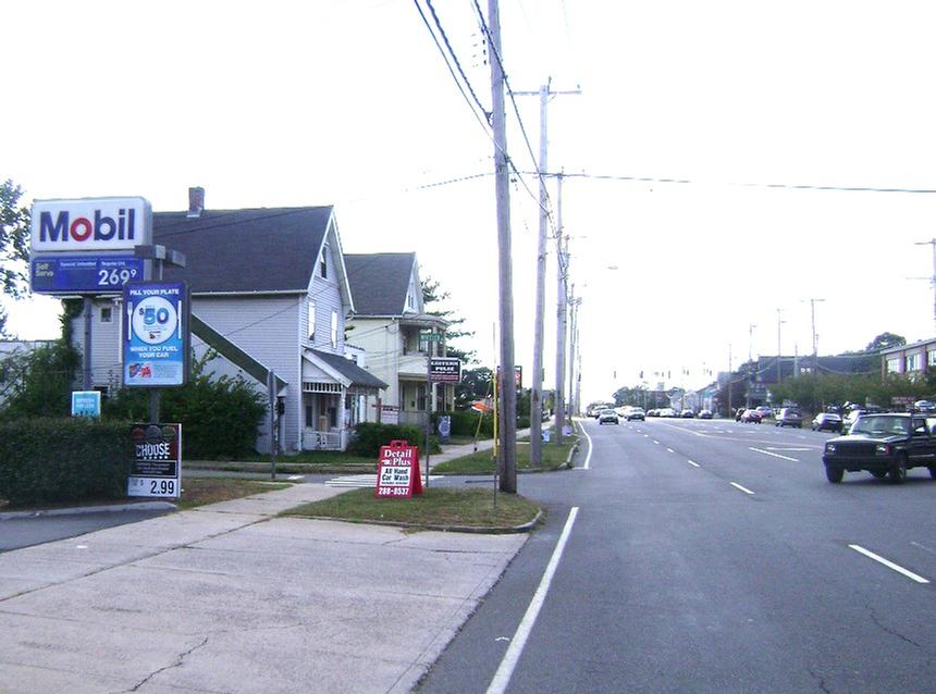
Same view of Whitney Avenue in Centerville, but closer to School Street
The building at right is the old Centerville Inn, which later became a Pepsi-Cola bottling plant. The small "Atlantic" sign where the two people are walking is at the northend of an Atlantic-Richfield (later just "Atlantic," then "ARCO") service station, which stood right at the corner of Whitney Avenue and School Street. In the early 1970s, the service station and the old inn were both demolished to make way for the construction of the mixed occupancy apartment building at 2405 Whitney Avenue.
|
1938 caption: "Dixwell Avenue, Hamden, near the Hamden High School"
This caption might have Hamdenites scratching their heads, until they realize that this is Dixwell looking south, from about where the parkway bridge would be built a decade later. The two wood frame houses in the recent photo below, although somewhat modified, are the same two houses seen in the 1938 photo above.
|
1938 caption "Hamden Police headquarters preparing emergency illumination."
These two unidentified Hamden police officers are getting ready with the kerosene lamps. They are pictured in Hamden's old police headquarters that was located in the basement portion of Hamden's Memorial Town Hall (later the Council Chamber) on the Dixwell Avenue side of the building, about where the present police headquarters was added in the early 2010s.
|
 |
| CLICK ON PHOTO TO ENLARGE |
|
|
1938 caption "This tree across Dixwell Avenue, Hamden, effectually blocked the road to Whitney Avenue."
The building in the background was first thought to be the 1819 Jared Basset house at 2389 Old Dixwell Avenue, later the Colonial House Restaurant. But Hamden Historical Society history room researcher Gil Spencer noted that Trommer's malt beer was carried by the Imperial Beverage Company, located where the Brown Stone House parking lot is today. Architectural features of the building in the background strongly suggest that it was the back of the old Sackett Hotel building, located at Whitney and Dixwell Avenues, that burned down in 1941. It was replaced eight years later by the Brown Stone House.
|
_______________________________________________________________________________________________________
|
1938 HURRICANE - MORE HAMDEN DAMAGE
|
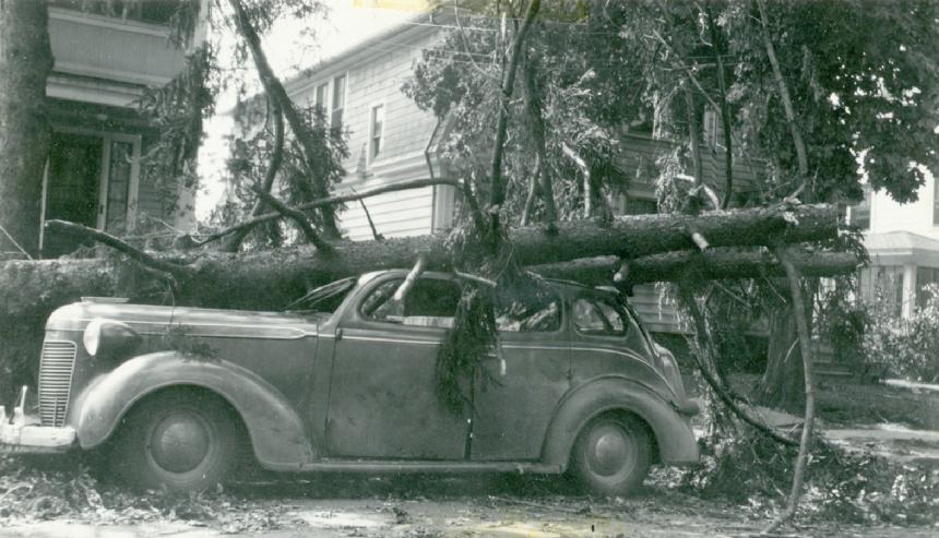 |
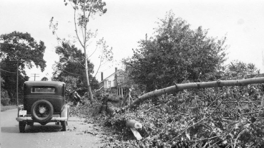
| This 1937 Chrysler Royal C16 sedan was less than a year old when this fallen tree made it an obvious total loss. |
|
|
 |
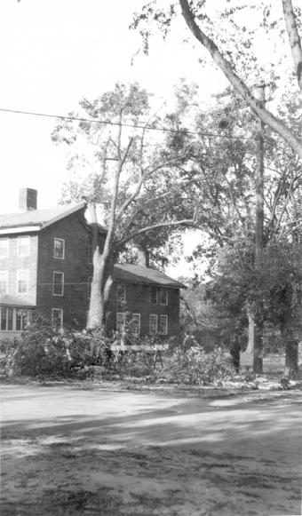
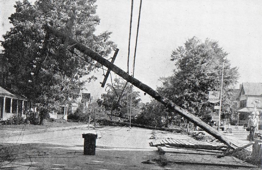
| Looks like Whitney Avenue in Spring Glen (?) |
|
|
the west side of Whitney Avenue at around #2260, where the Hamden Town House restaurant is today.
|
 |
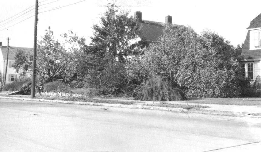
| Whitney Avenue in Centerville |
|
|
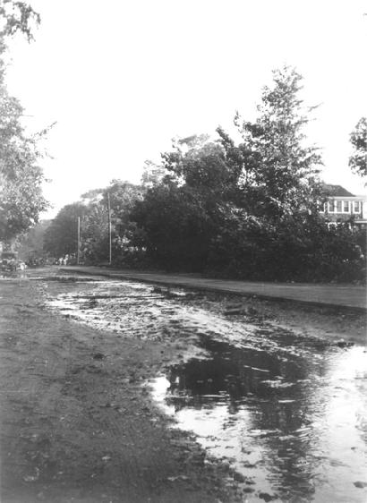 |
| Looks like Prospect Street looking north toward Mill Rock. |
|
|
 |
| Photo by Jeaniegray Schiebel |
|
|
Typical of the local damage caused by the 1938 hurricane was this downed tree in a Putnam Avenue backyard. Fortunately, hurricane damage to structures in Hamden was minimal in 1938, far less, in fact, than the damage caused by a late November 1950 hurricane. But the Great New England Hurricane of 1938 wreaked havoc elsewhere throughout southern New England, causing a total of 682 deaths and hundreds of millions of dollars in damage.
|
|